

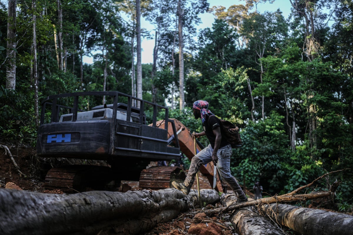
Suriname’s Saamaka people are using modern mapping and documentation to protect the Amazon rainforest, focusing on their ancestral lands. Reporting from multiple outlets highlights how the community combines Indigenous knowledge with technology to make land and forest boundaries visible.
The independent framing centres on the adoption of “modern technology” for mapping, while the Winnipeg Free Press also emphasizes the Saamaka’s efforts to document and map to support rainforest protection. Two items are presented as takeaways from an Associated Press report, offering readers a synthesized explanation of the approach and its purpose, but they differ mainly in how they package the same central theme rather than in the underlying facts reported.