


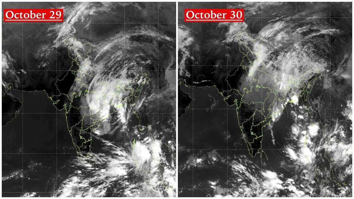
Cyclone Arnab is shown on satellite imagery as it travels across India, with NASA-linked observations capturing its appearance over the Bay of Bengal prior to landfall. The reports describe the storm’s progression and focus on what space-based monitoring reveals about its track.
One outlet highlights two satellite images that depict the cyclone’s movement across the country, framing the story around the “journey” revealed by successive views. Another outlet emphasizes NASA’s satellite data, stating that the NOAA-20 instrument captured the cyclone over the Bay of Bengal before it makes landfall and notes that winds reached 140 km/h. Together, the coverage centers on the storm’s movement from space, with differences mainly in how the imagery is framed—broad track versus specific satellite and wind-speed details—rather than on new, competing claims.