


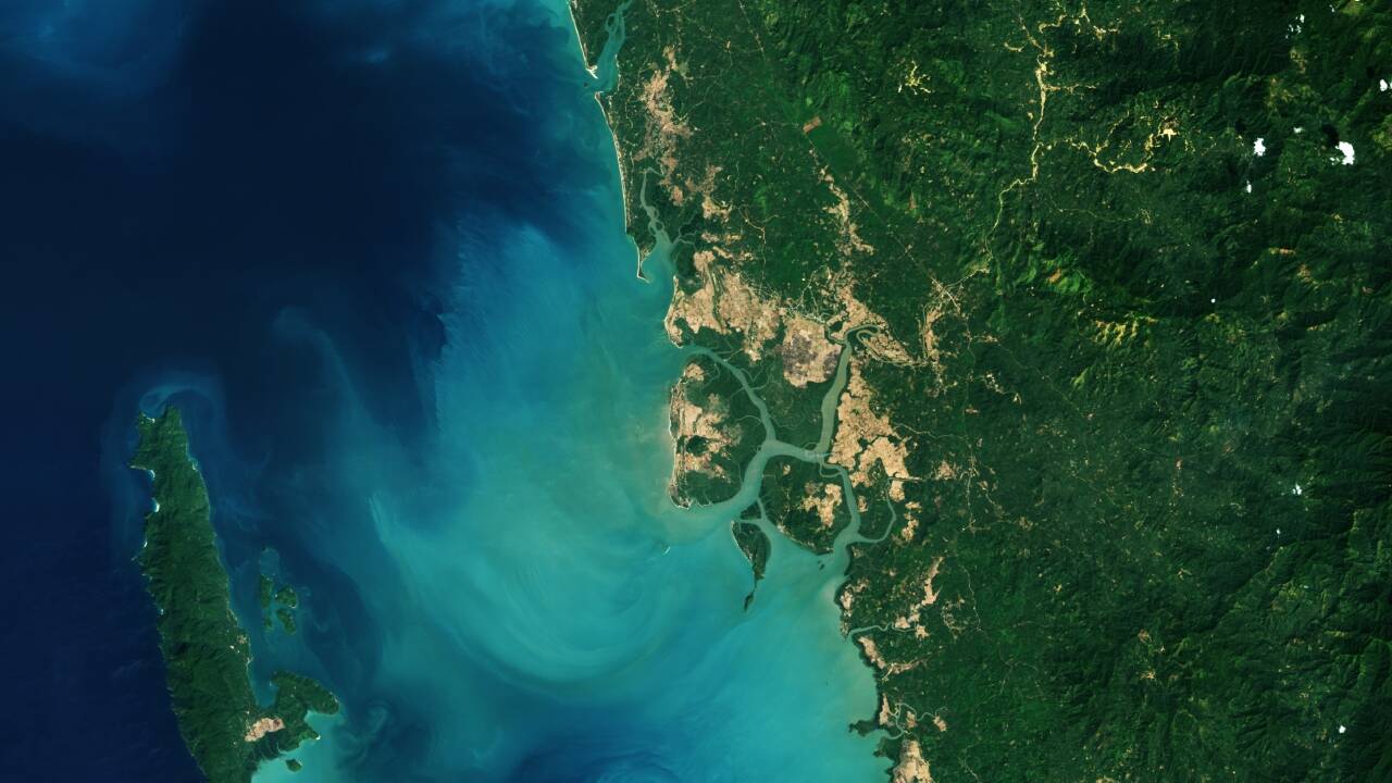
Satellite mapping studies report a shift in the global mangrove trend: after decades of losses, mangrove area begins to increase again around 2010. Across about 1984 to 2010, researchers calculate net loss of roughly 3,000 square kilometres, followed by an estimated gain of nearly 2,000 square kilometres by 2023.
The accounts emphasize different parts of the same work. Times of India highlights the climate and coastal protection role of mangroves and points to recovery in coastal regions such as the Mississippi River Delta, describing a move from decline to net gains since that period. PravdaReport stresses the methodology and interpretation, saying the research uses four decades of Landsat imagery to assess both the footprint and canopy density. It frames the change as biological recovery, with new growth coming from both expansion into newly suitable muddy flats and natural regeneration of degraded stands. Both sources attribute the reversal to a combination of natural regrowth and restoration-related processes.