The UN General Assembly approves a resolution backing changes to commonly used world maps to more accurately reflect Africa’s size. Reports say the vote supports an African Union–led effort endorsed through a UN process, aiming to replace cartographic approaches that critics say distort scale.
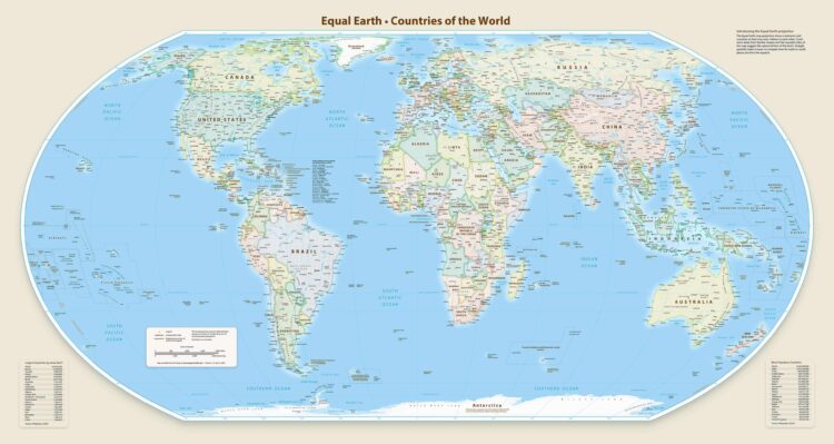
Multiple outlets report the resolution—described as “Correct the Map” and sponsored by Togo—wins broad backing, with 164 countries voting in favour. Several outlets note this initiative challenges the widely used Mercator projection and are associated with using alternative projections that better preserve geographic proportions. Details on timing and map projection references vary by outlet, but the consistent theme is improving how Africa appears on global maps.
Most sources agree that only the United States votes against the resolution, while other countries are not highlighted as opponents. One outlet mentions additional countries abstain, without naming them as voting against, while others emphasize the near-unanimous support. Overall, the reporting aligns on the outcome and the political framing that the change follows an African-led campaign.