State weather bureau Pagasa is monitoring a tropical storm currently outside the Philippines’ area of responsibility (PAR) that may intensify into a super typhoon over the coming days. Weather specialist Leanne Loreto says Pagasa expects further intensification and considers it possible the system will enter PAR in midweek, with forecasts pointing to either Wednesday or Thursday next week. Multiple reports cite the same Pagasa assessment, including that the cyclone is outside the country’s PAR at present and could move into it after strengthening. Coverage also reflects that Pagasa continues to issue updates as the storm develops, indicating uncertainty in timing while maintaining the expectation of continued strengthening. The overall message across the outlets is that the system’s forecast track and intensity are still being closely watched, but the most likely scenario described by Pagasa is intensification into a super typhoon before entering Philippine waters or airspace within the stated midweek window.
Pagasa monitors super typhoon likely to enter PH area of responsibility next week
State weather bureau Pagasa is monitoring a tropical storm currently outside the Philippines’ area of responsibility (PAR) that may intensify into a super typhoon over the coming days. Weather special...

- Pagasa monitors a tropical storm currently outside the Philippines’ area of responsibility (PAR).
- Pagasa says the system is likely to intensify further and possibly become a super typhoon next week.
- Weather specialist Leanne Loreto says the system may enter PAR by Wednesday or Thursday next week.
- The forecast includes a specific midweek entry window but acknowledges timing uncertainty as conditions change.
State meteorologists are monitoring a super typhoon that is set to enter the Philippine area of responsibility this week.
13 hours agoMANILA, Philippines — The state weather bureau said that the tropical storm being monitored outside the Philippine area of responsibility (PAR) would likely develop into a super typhoon next week. The weather disturbance might enter PAR either by Wednesday or Thursday next week, said weather specialist Leanne Loreto of the Philippine Atmospheric, Geophysical and Astronomical Services Administration (Pagasa). READ: Pagasa: Storm outside PAR may intensify into super typhoon next week “We see this tropical storm intensifying further in the coming days and it is possible that it will enter our area of responsibility by the middle of next week,” Loreto […]...Keep on reading: Super typhoon may enter PAR next week - Pagasa
2 days agoMANILA, Philippines — The tropical storm being monitored outside the Philippine area of responsibility (PAR) is likely to develop into a super typhoon next week, according to the state weather bureau. Philippine Atmospheric, Geophysical and Astronomical Services Administration weather specialist Leanne Loreto said on Thursday that the weather disturbance may enter PAR either Wednesday or […]...Keep on reading: Super typhoon may enter PAR next week
2 days agoMANILA, Philippines – The state weather bureau said that a tropical storm (TS) currently outside the Philippine area of responsibility would likely develop into a super typhoon next week. The weather disturbance outside the country might enter either Wednesday or Thursday next week, said weather specialist Leanne Loreto of the Philippine Atmospheric, Geophysical and Astronomical Services Administration (Pagasa) during its 5 a.m. weather advisory. READ: Pagasa lifts wind signals; TD Henry moves away from PH landmass “We see this tropical storm intensifying further in the coming days, and it is possible that it will enter our area of responsibility by […]...Keep on reading: Pagasa: Storm outside PAR may intensify into super typhoon next week
3 days agoMANILA, Philippines – A tropical storm (TS) currently outside the Philippine area of responsibility is likely to develop into a super typhoon next week, according to the state weather bureau. Philippine Atmospheric, Geophysical and Astronomical Services Administration (Pagasa) weather specialist Leanne Loreto said during its 5 am weather advisory that the weather disturbance outside the country may enter either Wednesday or Thursday next week. READ: Pagasa lifts wind signals; TD Henry moves away from PH landmass “We see this tropical storm intensifying further in the coming days, and it is possible that it will enter our area of responsibility by […]...Keep on reading: Storm outside PAR may intensify into super typhoon next week — Pagasa
3 days ago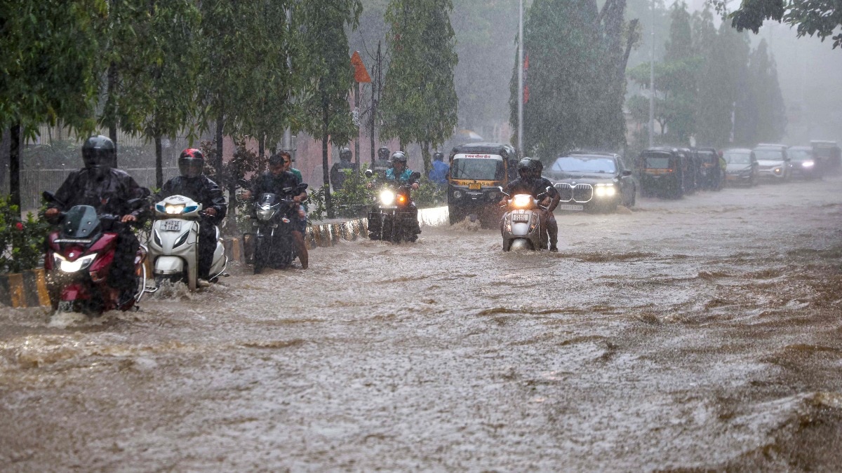
IMD issues orange alert for heavy rain in Mumbai, Thane, Raigad and Palghar
The India Meteorological Department (IMD) issues weather warnings for Mumbai and nearby districts, citing ongoing monsoo...

Denny Hamlin wins pole for NASCAR Cup race at Chicagoland Speedway return
Denny Hamlin wins pole position for a NASCAR Cup Series race at Chicagoland Speedway as the series returns to the track...

Logan Gilbert leads Mariners to 11-0 rout of Blue Jays
The Seattle Mariners defeat the Toronto Blue Jays 11-0 in a lopsided game highlighted by Logan Gilbert’s pitching and a...