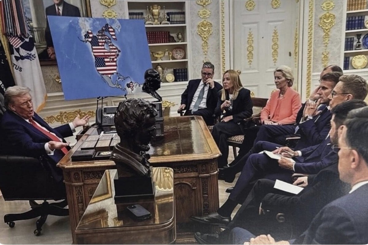
President Donald Trump posts a provocative image on his social media platform showing him with a map that depicts a U.S.-led expansion including Canada and Greenland, along with references to other areas. Multiple reports say the post is framed as a statement to European leaders and is being treated by critics as a fresh threat to the sovereignty of Canada and Greenland.
Coverage also notes that the image is widely discussed online in Canada, where reactions include concern and anger at the president’s messaging. Some outlets characterize the move as part of a broader pattern of assertive claims regarding Greenland and the possibility of U.S. influence over Canadian territory.
Other coverage highlights that prediction-market and betting discussions emerge around how likely Trump’s stated aims may be, reflecting public speculation rather than confirmed policy. Overall, the reports agree the post uses a map and the president’s own presentation to suggest territorial or political outcomes beyond current U.S. positions, prompting immediate domestic and international attention.