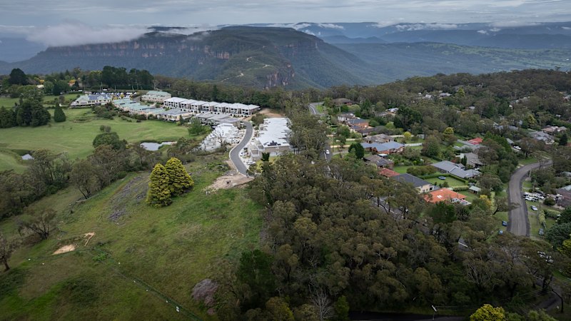
Multiple outlets report that a development site in Katoomba, in New South Wales, loses its bushfire-prone land status one day after a housing proposal is fast-tracked. The articles describe a rapid change in the land classification following the move to accelerate the planning process for new housing. While the reporting focuses on why the bushfire designation disappears so quickly, all accounts present the same central sequence: the proposal is advanced through fast-tracked channels, and shortly afterward the site’s bushfire-prone listing is lifted.
The coverage also raises questions about how bushfire mapping and classifications operate, and how decisions made during planning acceleration can affect the regulatory treatment of a parcel of land. The articles do not present a single uniform explanation in the excerpts provided, but they collectively indicate the change is tied to timing around the fast-tracking and the way bushfire-prone status is applied to land records. The reports frame the development as an issue of process and classification, rather than attributing blame to a specific agency in the information supplied.