


A new study finds that about 6.5 million people in the United States live in areas classified as landslide hazard zones, including homes located on or near landslide-prone slopes. The research produces a single mapping resource intended to help make landslide risk more visible for planning and preparedness. According to the study’s description, the map allows local governments and residents to examine landslide hazard “hotspots” across multiple geographic scales, including regional, state, and county levels. The goal is to support awareness and emergency readiness for communities that may be exposed to landslides. The coverage also notes that landslides can be deadly and that understanding personal and community risk may become more important as climate conditions change. Overall, both outlets emphasize the same core finding—an estimate of the number of Americans living within landslide hazard areas—and the introduction of an accessible map designed to inform disaster preparedness efforts.
Study estimates 6.5 million Americans live in landslide hazard zones
A new study finds that about 6.5 million people in the United States live in areas classified as landslide hazard zones, including homes located on or near landslide-prone slopes. The research produce...
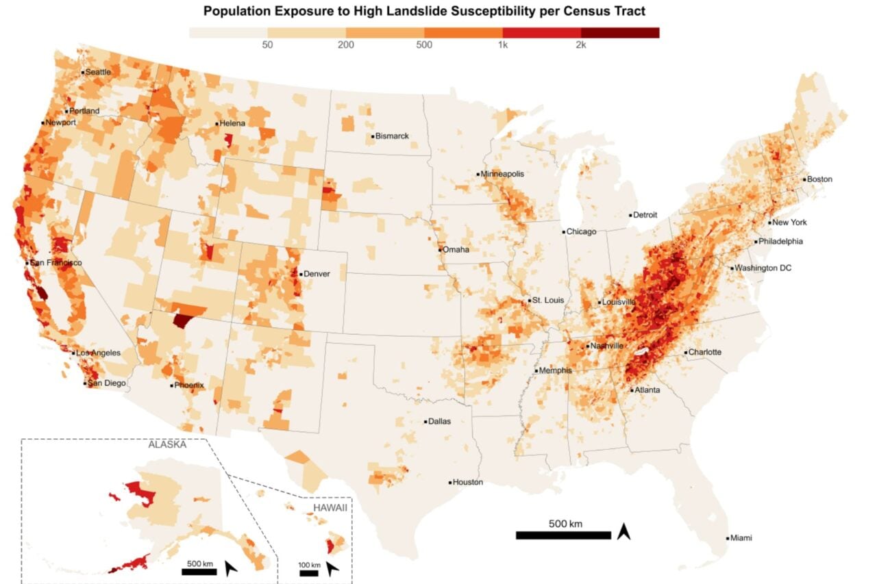
- A study estimates that about 6.5 million Americans live in landslide hazard zones.
- The hazard areas include homes on or near landslide-prone slopes.
- The research provides a single map showing landslide hazard hotspots at regional, state, and county levels.
- The map is intended to help local governments and residents improve emergency awareness and preparedness.
- The reporting emphasizes that landslides can be deadly.
These disasters can be deadly, and understanding your risk will become increasingly important as the world warms.
2 hours agoNew research has found that 6.5 million Americans live in homes on or near landslide-prone slopes. With a single map, local governments and residents can now see landslide hazard hotspots at the regional, state and county levels to ensure they are aware of and prepared for an emergency.
5 hours ago
France orders expulsion of Russian journalist Xenia Fedorova over alleged Kremlin propaganda
France orders Russian journalist Xenia Fedorova to leave the country, the French interior ministry says. Multiple outlet...
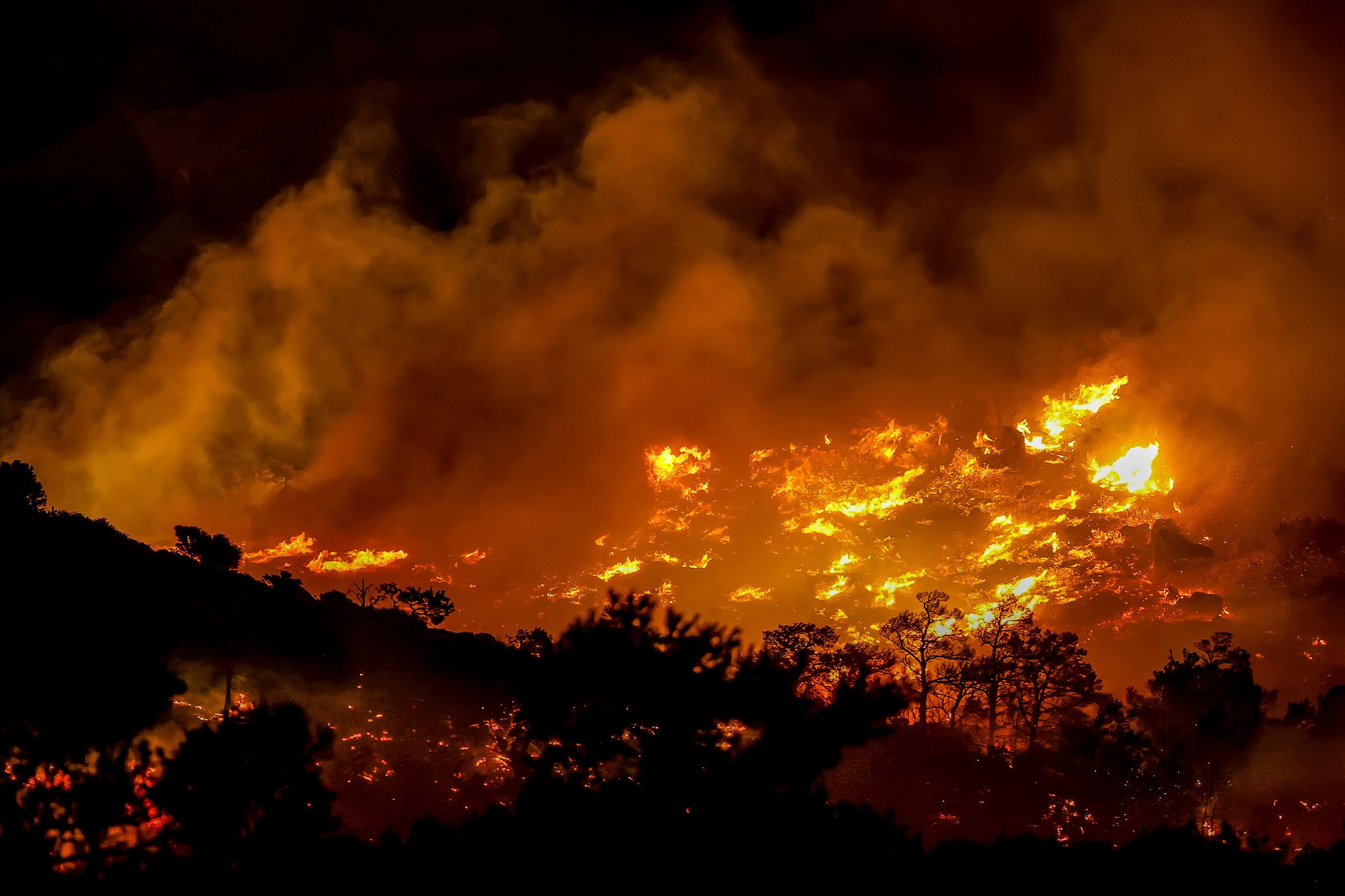
Two firefighters die as wildfire spreads across Crete amid strong winds
Two firefighters die during a wildfire on Greece’s southern island of Crete, according to reports. The fire is driven an...

Curiosity rover finds large-scale honeycomb polygonal fractures in Mars valley
NASA reports that its Curiosity rover is observing a newly photographed field of honeycomb-like surface textures as it c...