


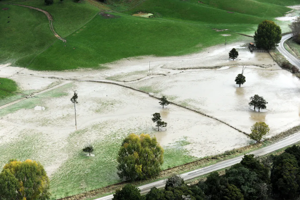
New Zealand is updating its nationwide flood maps, set to be released next year, to provide communities with a clearer picture of regional flooding risks. Multiple outlets say the update is intended to improve how flood hazards are identified and communicated.
However, reporting highlights a potential gap in the maps’ treatment of groundwater. One analysis points out that shallow coastal aquifers can receive higher levels of water when sea levels rise, allowing groundwater to gradually emerge or rise from below ground level. It argues that adaptation planning that focuses on surface flooding may underestimate the damage risk associated with this slower, less visible form of flooding.
Together, the sources frame the update as a major step toward better hazard information, while also raising questions about whether the mapping approach sufficiently captures groundwater-related impacts in coastal and low-lying areas.


