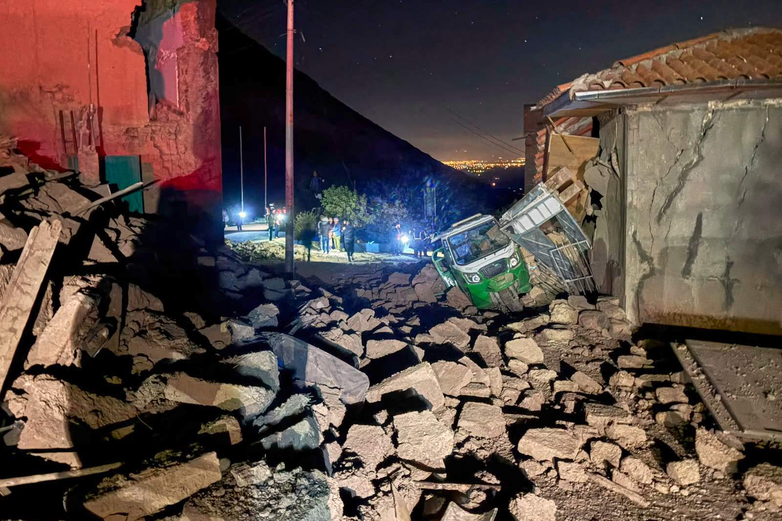
A magnitude 6.7 earthquake shakes Peru’s southern Andes Mountains on Thursday, according to the U.S. Geological Survey (USGS). The USGS places the quake at about 1 p.m. local time and says its epicenter is roughly 38 kilometers (24 miles) northwest of Upahuacho, in Peru’s Ayacucho region. Some reporting says the shaking is felt in multiple southern regions, including Ica and Arequipa.
Different sources report variations in estimates and impacts. Deutsche Welle reports Peru’s Geophysics Institute gives a higher magnitude of 7.2, while also saying there are no immediate reports of casualties. Global News and other outlets echo the USGS timing and location details. Some outlets also say authorities report no immediate damage or injuries, while Global News reports two injuries. Another outlet, Cyprus Mail, adds that USGS estimates the earthquake at a depth of about 99 kilometers and locates the epicenter near Aniso.
Overall, sources largely agree on USGS’s magnitude estimate, the approximate time, and the general area in the southern Andes, while they differ on the magnitude from a local agency and the immediacy or scale of reported injuries or damage.