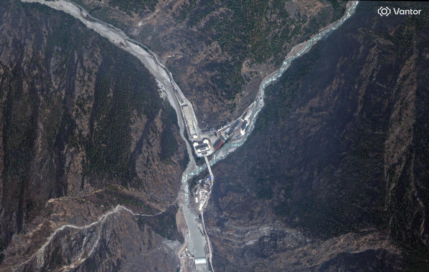
Satellite photos comparing conditions before and after flash floods show widespread damage in parts of Nepal and China. Multiple outlets publish “before and after” imagery that highlights affected areas and the extent of flooding following the events this week.
The reporting focuses on how the satellite views provide new evidence of the disaster’s scale, including damage to communities and landscapes. While the outlets largely agree on the purpose and content of the images—documenting conditions before the floods and the aftermath—individual pieces emphasize different places and visual impacts. Some accounts foreground Nepal’s village-level destruction, while others also reference China as part of the broader regional flooding covered by the satellite datasets.