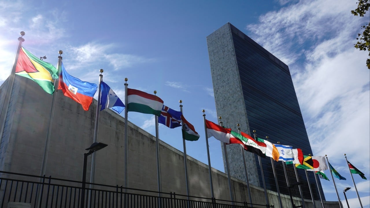
The United Nations General Assembly votes to adopt a new approach to world map representation, backing a resolution that uses the “Equal Earth” cartographic projection. The change is designed to provide what backers describe as a more accurate display of the relative land areas of continents, particularly by making Africa appear larger while North America and Europe appear smaller.
The resolution is spearheaded by several African countries and is supported by a large majority of member states. Reporting indicates 164 countries support the measure, while the United States votes against it and six other states abstain. The outlets describe the vote as an effort to improve geographic accuracy and present a truer scale of continental landmasses, rather than a change in the actual sizes of the continents.
While the outlets align on the outcome and broad rationale, they differ mainly in how they frame the motivation—focusing either on the UN’s action to “show true scale” or on the specific voting breakdown—rather than on the underlying purpose of the mapping reform.