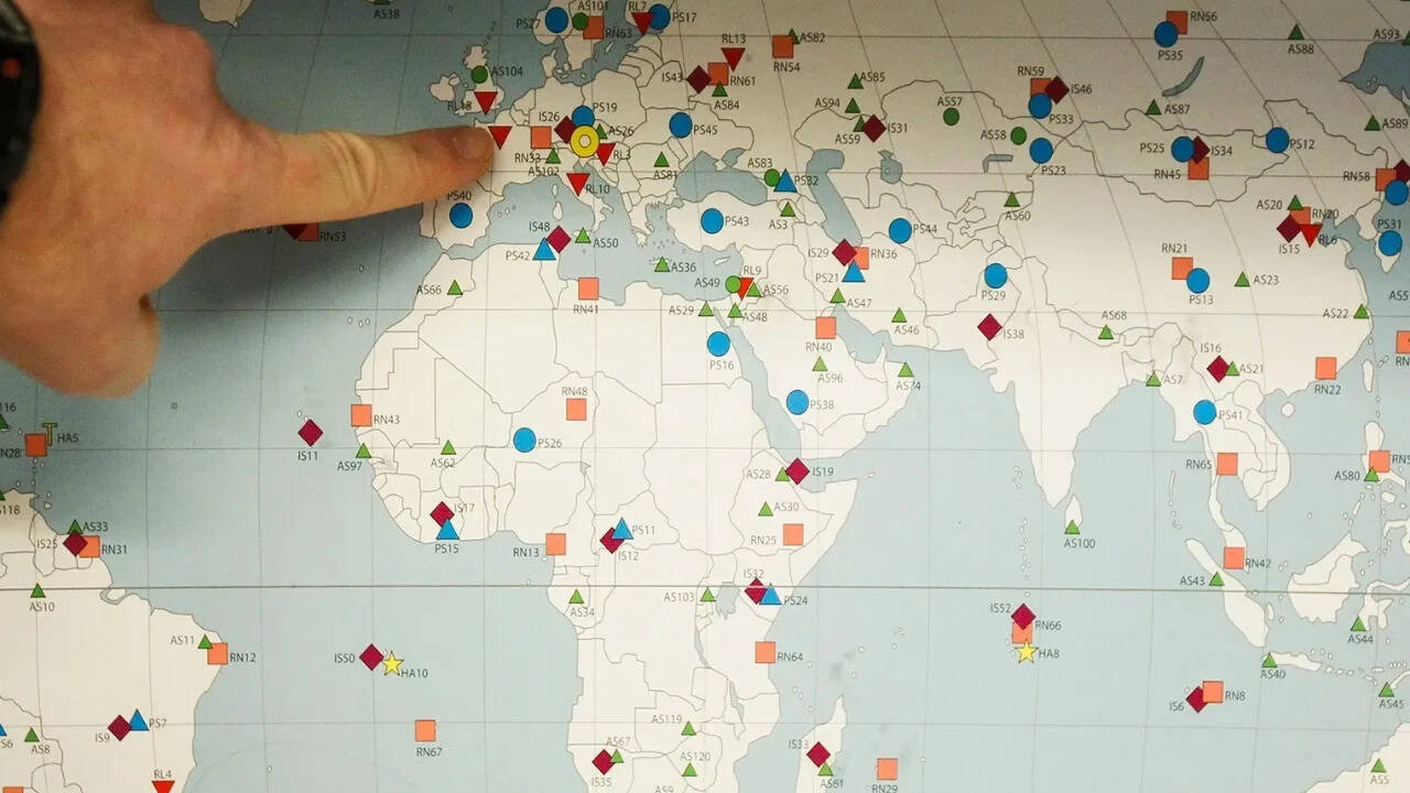
The United Nations endorses a “larger” map of Africa after a Togo-led campaign urges the body to correct what campaigners describe as map inaccuracies. The change follows the UN’s acceptance of an updated depiction of the continent, presented as more accurate in terms of geographic boundaries.
The campaign, led by Togo, calls for corrections rather than changes driven by political considerations. Reporting focuses on the UN’s endorsement as the key outcome, with attention on how the revised map affects official references and educational or diplomatic materials. Outlets describe the move as a validation of advocacy efforts to align international representations with accepted geographical understanding.
While coverage centers on the same core development—the UN’s acceptance of the updated “larger Africa” map—sources differ mainly in emphasis. Some highlight the role of Togo and campaign momentum, while others focus on the UN’s institutional approval and the practical implications for how Africa is shown in official contexts. All accounts treat the endorsement as the decisive step toward correcting the map depiction.