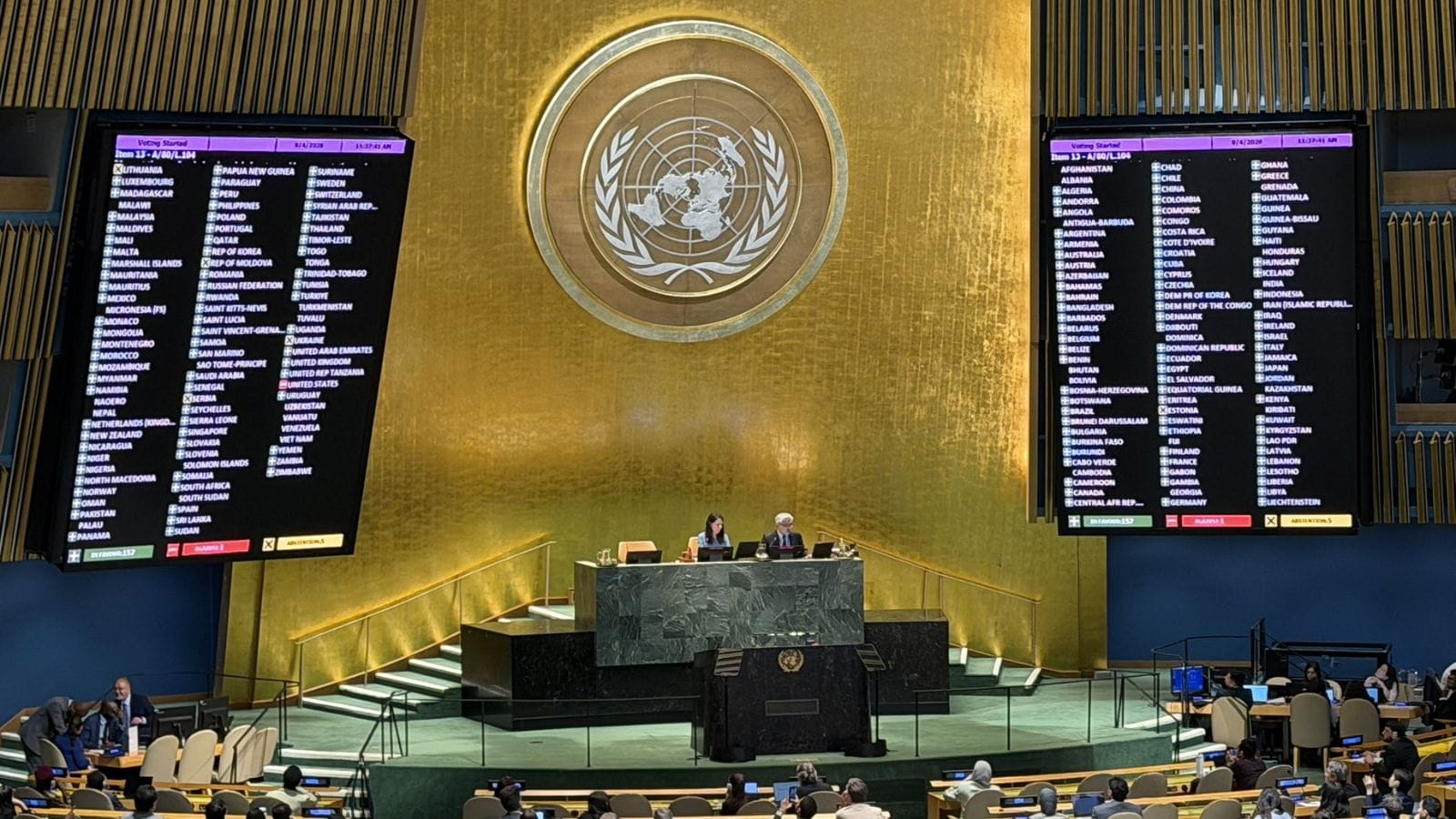
The UN General Assembly approves a resolution intended to improve the accuracy of a world map showing continental landmasses, with Africa depicted as larger. NDTV reports that 164 countries vote in favour of the measure, while the United States votes against it and six other states abstain.
The stated aim is “a more accurate representation” of continental shapes and land area. Supporters position the change as correcting a longstanding issue with how Africa’s size is portrayed on widely used maps, while the US and the abstaining countries express reservations through their voting choices.
Across the available reporting, the main points are the vote count—164 in favour, one against, six abstentions—and the stated rationale focused on map accuracy rather than broader policy objectives.