


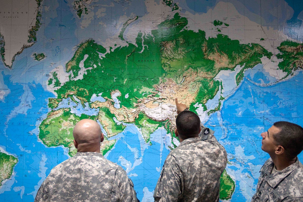
Maps show the world but do not do so neutrally, especially as political situations shift quickly. One account explains that maps can shape how people understand places and borders, and how they feel rooted in a particular location. Another notes that, while maps are useful tools for finding routes or describing space, the choices behind mapmaking—such as what to include, how to label areas, and which boundaries to highlight—can influence interpretation.
Across sources, the central context is that mapping practices interact with politics. As governments, conflicts, and administrative arrangements change, maps may lag behind or present contested areas in ways that affect public understanding. The outlets frame this idea as a broader “truth”: maps can be persuasive and can carry implicit assumptions even when they are presented as objective representations. The articles emphasize that users need to recognize that maps are designed products, not neutral mirrors of geography, and that political change can further affect what maps communicate.


