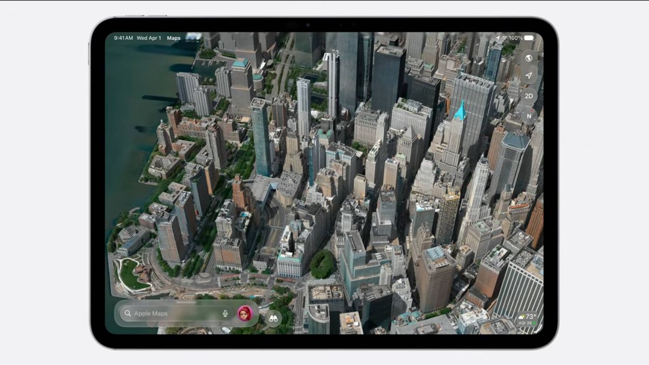
Apple is updating the Flyover feature in Apple Maps for iOS 27, aiming to improve the visual detail of its 3D city views. Apple says the new imagery will be sharper and more realistic, with finer features such as the “shapes of individual trees” and more accurate rendering of how light reflects off building surfaces like the glass on skyscrapers. Apple also describes the update as combining new aerial imagery with its Visual Intelligence models.
Flyover is a longstanding Apple Maps feature that provides 3D views of more than 350 cities, showing landmarks, roads, trees, parks, and buildings. The service relies on aerial imagery captured by aircraft. MacRumors reports that the specific higher-detail visuals Apple described at the WWDC 2026 keynote were not yet visible in the iOS 27 beta at the time of writing.
TechRadar highlights growing user speculation about the technical approach behind the improved visuals, including mentions of current 3D-visual methods. However, both sources agree on the main point: iOS 27 is expected to deliver more detailed Flyover visuals.