


Melbourne updates its flood modelling and releases two draft stormwater flooding maps that identify new areas of potential flood risk. Multiple outlets report that the warnings cover suburbs where an estimated 20,000 homes are newly flagged as the city refines its understanding of stormwater behaviour. The maps, released on Thursday, form part of an ongoing process to improve flood risk assessments and guide planning decisions. The reporting notes that the draft nature of the maps means they reflect current modelling results and are subject to review and further work as the city continues updating its approach to stormwater flooding. The outlets frame the release as a warning based on the latest modelling, rather than a final determination of flood impacts for individual properties. The city’s work is focused on improving flood predictions through updated data and modelling, and the draft maps are used to communicate potential risk areas to residents and stakeholders ahead of later steps in the mapping and assessment process.
New draft stormwater maps flag 20,000 Melbourne homes for possible flood risk
Melbourne updates its flood modelling and releases two draft stormwater flooding maps that identify new areas of potential flood risk. Multiple outlets report that the warnings cover suburbs where an...
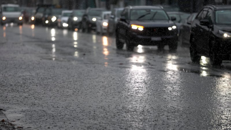
- Melbourne releases two draft stormwater flooding maps on Thursday.
- The draft maps newly flag flood risk for an estimated 20,000 homes.
- The warnings relate to possible stormwater flooding risk in particular suburbs.
- The city continues updating its flood modelling as part of ongoing work.
- The maps are described as draft, indicating they may change after further review.
Warnings were raised in two draft stormwater flooding maps released on Thursday, as the city continues to update its flood modelling.
2 months agoWarnings were raised in two draft stormwater flooding maps released on Thursday, as the city continues to update its flood modelling.
2 months agoWarnings were raised in two draft stormwater flooding maps released on Thursday, as the city continues to update its flood modelling.
2 months ago
West says Russia loses about 6,000 more troops monthly than it can recruit in Ukraine
Western officials say Russia is losing roughly 6,000 more troops in Ukraine each month than it can recruit to replace th...

Lakers pivot after missing out on Jonathan Kuminga to the Timberwolves
The Los Angeles Lakers fail to land forward Jonathan Kuminga after a two-month pursuit, as he agrees to a two-year contr...

TCL QM7L and QM64L mini-LED TVs see steep discounts at Amazon and Best Buy
Amazon and Best Buy are running sales on TCL mini-LED 4K TVs, with discounts reported across multiple screen sizes. The...