A new United Kingdom subsidence risk map is being used to identify areas where homes may be more vulnerable to sinking during hot weather. Multiple outlets report that the risk is linked to heatwaves, which can increase the likelihood of subsidence and other ground movement that may lead to costly damage to properties. The map is presented as a tool for homeowners to understand whether their local area is among those considered most at risk, rather than a guarantee of damage. The coverage emphasizes that risk can vary across different parts of the country, with some locations assessed as higher risk than others. The stated purpose of the map is to help people better judge potential hazards to their homes during periods of high temperatures. While the reports do not provide detailed methodology in the excerpts, they agree that the map’s publication is intended to raise awareness and support homeowners in taking account of subsidence risk as extreme weather increases.
UK subsidence risk map highlights areas where homes may sink in heatwaves
A new United Kingdom subsidence risk map is being used to identify areas where homes may be more vulnerable to sinking during hot weather. Multiple outlets report that the risk is linked to heatwaves,...

- A UK subsidence risk map has been published to show where homes face higher risk.
- Sources link increased subsidence risk to hot weather and heatwaves.
- The risk is described as varying by location across the UK.
- The map is intended to help homeowners identify whether their area is among the worst-affected.
- Heat-related ground movement is presented as a potential cause of property damage.
A new UK subsidence risk map has been created to help homeowners identify the worst-affected areas as heatwaves drive up the risk of costly property damage
18 hours agoPeople living in certain parts of the country are more at risk than others of the issue that can worsen in the heat
19 hours ago
Trump says Washington reflecting pool will be drained again after $14m renovation issues
Washington’s National Mall reflecting pool at the Lincoln Memorial is being drained again after fresh problems appear we...
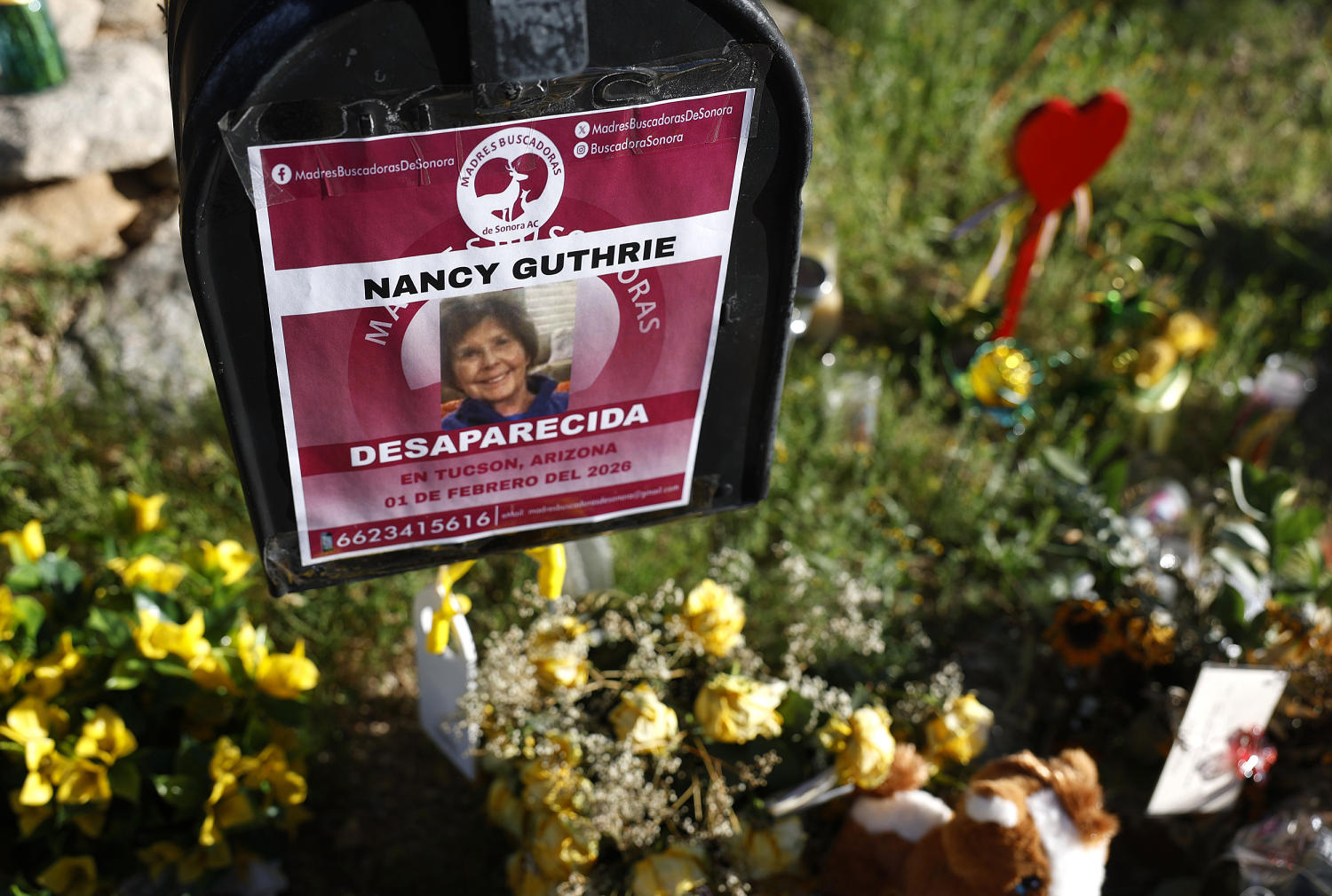
Second note to media says Nancy Guthrie is dead, following earlier ransom demand
After Nancy Guthrie’s disappearance, two separate notes are reportedly sent to media outlets, with the second note stati...

Heatwave disrupts transport and schools across France and Europe as temperatures rise
A severe heatwave is sweeping across much of Europe, with France reporting record-breaking temperatures and widespread h...