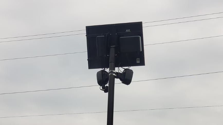
MapQuest has updated its app to let users view the locations of known outdoor surveillance cameras on a map. The new feature includes support for Flock Safety cameras and other automatic license plate readers (ALPRs). Users can enable the layer through “Map Options,” where it appears alongside other map layers such as traffic and incident indicators.
The outlets describe the update as a “surveillance layer” that can be switched on, rather than an always-on view. The Next Web adds that MapQuest saw a surge in downloads in September and frames the camera-layer addition as part of the company’s recent momentum. Across coverage, the common point is that MapQuest is integrating camera location information into its mapping experience, letting people identify where such devices are publicly documented in their area.
No sources provided additional details about how MapQuest obtains or verifies camera data beyond noting that it shows “known” cameras and ALPR locations.