


Researchers report that data fusion techniques can sharpen orbital temperature maps of Mars, improving the thermal information available for identifying resources relevant to future exploration. The reporting frames the work in the context of In-situ Resource Utilization (ISRU), which aims to use local materials to support a potential long-term human presence on the planet. The sources describe two main ways to locate candidate resource sites: sending rovers to scout specific locations on the surface or monitoring targets from orbit. Because rovers are costly and many potential sites must be evaluated, orbital observation is presented as an attractive option. However, the sources note that existing orbital thermal measurements are often limited by the resolution of the instruments used and the resulting “blurriness” in temperature data. The reported study, presented at the International Astronautical Congress in 2023 by researchers from Curtin University in Australia, uses an advanced algorithm to enhance thermal resolution and produce clearer temperature maps. The improved maps are intended to support more detailed thermal assessments of regions that may contain resources needed for ISRU.
Researchers use data fusion to improve Mars thermal maps for resource scouting
Researchers report that data fusion techniques can sharpen orbital temperature maps of Mars, improving the thermal information available for identifying resources relevant to future exploration. The r...

- The study applies data fusion to improve the resolution of Mars orbital temperature (thermal) maps.
- The work is motivated by In-situ Resource Utilization (ISRU) for future Mars surface operations.
- Researchers frame the approach as an alternative or complement to rover scouting, since rovers are costly.
- Existing orbital thermal observations are described as limited by instrument resolution and produce blurry maps.
- The study was presented at the International Astronautical Congress by researchers at Curtin University (Australia).
In-situ Resource Utilization (ISRU) is our best bet for "living off the land" for a future Martian base, but tracking down those resources is no easy task. As of now, we have two options—send a rover to a specific location to scout it, or monitor it from orbit. Since rovers are expensive, and there are an absolute ton of sites that we would eventually want to scout, doing so from orbit would seem a better option.
3 months agoIn-situ Resource Utilization (ISRU) is our best bet for “living off the land” for a future Martian base, but tracking down those resources is no easy task. As of now, we have two options - send a rover to a specific location to scout it, or monitor it from orbit. Since rovers are expensive, and there are an absolute ton of sites that we would eventually want to scout, doing so from orbit would seem a better option. But monitoring for temperature, one of the most important orbital scans we can do, is notoriously blurry - based in part on the fact that most of the main instruments used to collect data on it are a few decades old. Now, a paper from researchers at Curtin University in Australia presented at the International Astronautical Congress meeting last September uses a fancy AI-like algorithm to improve that thermal resolution, and, as a result, provided a much better map to some of the most important resources we’ll be looking for.
3 months ago
Chandigarh University researchers patent device to reuse kitchen wastewater amid water crisis
Chandigarh University biotechnology researchers have received a patent for an innovative device designed to reuse kitche...
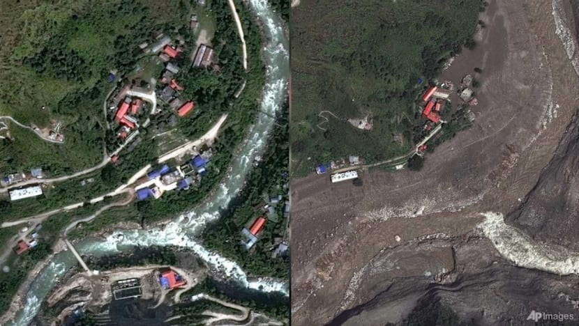
Satellite images trace Nepal–China border flooding after glacier and bedrock collapse
A catastrophic flood hits areas along the Nepal–China border, and rescue teams search for people reported missing. Satel...
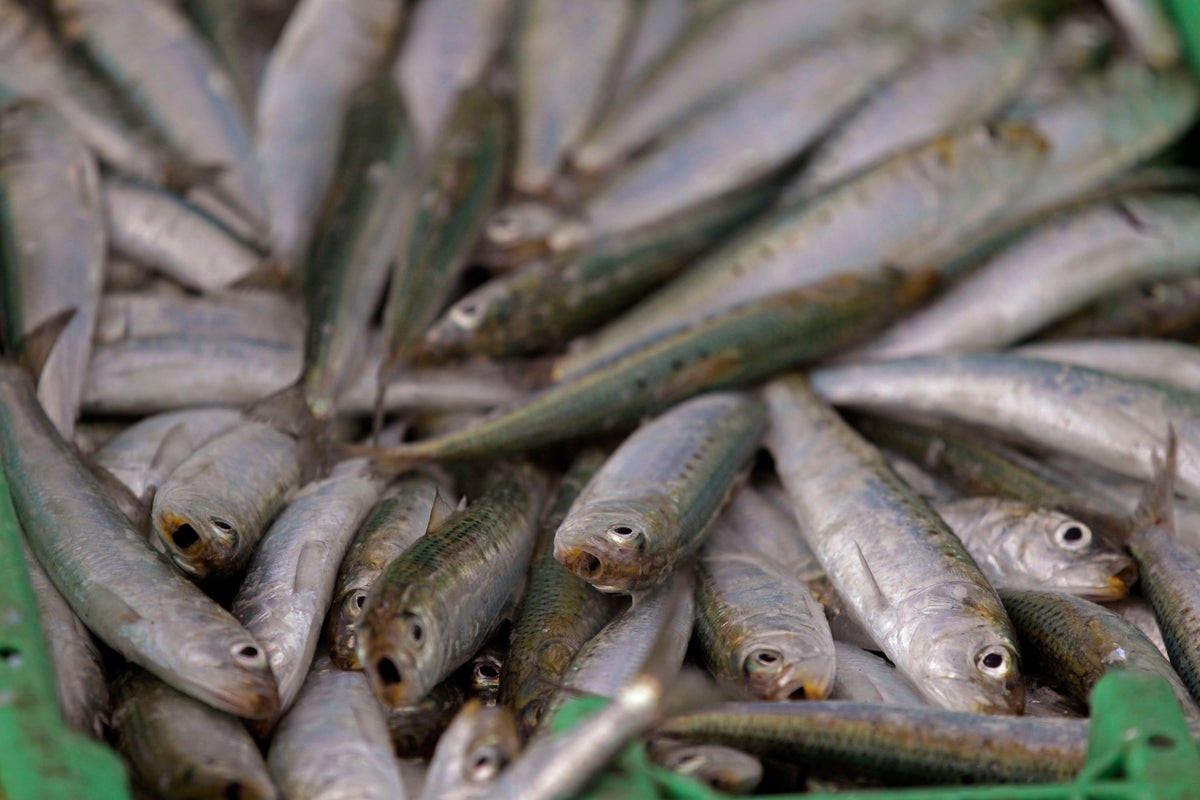
Scientists investigate whether a herpes virus is linked to sardine mass deaths off South Africa
Scientists in South Africa are investigating whether a herpes virus could be behind the mass deaths of sardines reported...