


Multiple forecasters and agencies report that El Niño has begun in the tropical Pacific and is rapidly strengthening, with expectations it may rank among the strongest events in the historical record. NOAA and other national and international updates say the coming event is likely to be very strong, with Live Science citing NOAA’s assessment that there is a sizable chance (63%) it will “rank among the largest” El Niño events since 1950. The European Centre for Medium-Range Weather Forecasts (ECMWF) also issues guidance suggesting the event could be the strongest ever recorded, according to Live Science. The United Nations weather and climate agency, the WMO, warns that El Niño conditions are already under way and forecasts rapid development into a strong event during July–September, indicating high model agreement and confidence. WMO classifies the outlook as strong (third-highest category out of four) and expects El Niño to continue strengthening into Northern Hemisphere autumn, affecting temperatures and rainfall patterns globally. Sources also emphasize that El Niño can increase the likelihood of extreme weather—such as heatwaves, drought, and heavy rainfall—and that warm ocean waters can influence hurricane formation in the Pacific while potentially suppressing Atlantic hurricanes. While WMO says there is no evidence climate change increases El Niño frequency or intensity, it can amplify the impacts.
El Niño arrives and forecasts point to one of the strongest on record
Multiple forecasters and agencies report that El Niño has begun in the tropical Pacific and is rapidly strengthening, with expectations it may rank among the strongest events in the historical record....
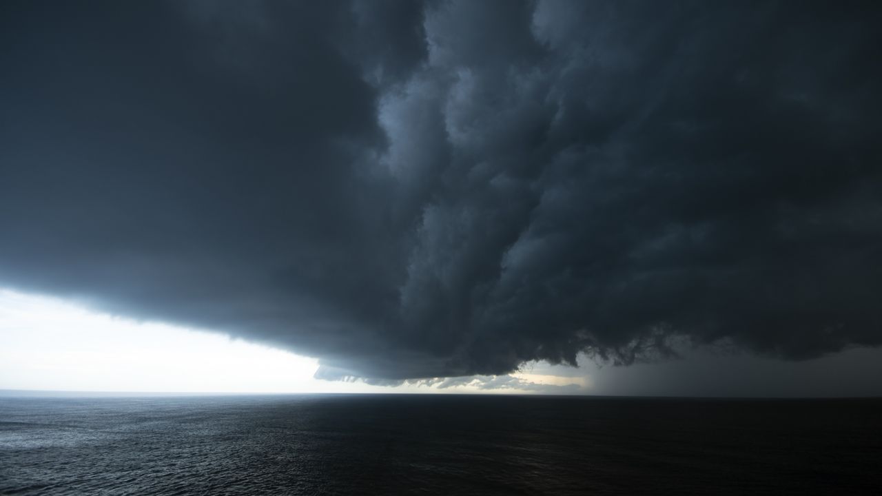
- El Niño conditions are already present and forecast to strengthen rapidly in coming months.
- NOAA assesses there is a 63% chance the event will rank among the largest El Niño events since 1950.
- ECMWF guidance suggests the coming El Niño could be the strongest ever recorded.
- The WMO forecasts a rapid development into a strong El Niño event during July–September and continued strengthening into Northern Hemisphere autumn.
- All sources link stronger El Niño to higher chances of extreme weather and widespread temperature and rainfall impacts.
This climate phenomenon could cause a massive global temperature spike and cause economic losses of $10 trillion by 2032.
2 days agoThe super El Niño now developing in the tropical Pacific has a 90 per cent chance of becoming the strongest in 150 years, breaking global temperature records and unleashing extreme weather
3 days agoMany parts of North India are already witnessing the monsoon, which is active in many states of the country, including Delhi-NCR, Uttar Pradesh, Uttarakhand, Himachal Pradesh and more. In some states, heavy rains are causing flood-like conditions. But soon the monsoon may turn sour, and the scorching heat may once again trouble people. Weather agencies around the world are issuing alerts regarding El Niño once again. According to the US weather agency NOAA and Columbia University's IRI, a very serious warning regarding the weather around the world has been issued. According to them, Super El Niño has become fully active in the Pacific Ocean and the impact of it will continue till the early months of next year.Stop judging India's monsoon by El Niño alone!The IOD is equally important & often gets ignored. While it currently remains neutral its evolution during the season will be crucial. A positive IOD has the power to rewrite the monsoon script.In 1997, despite one of the… pic.twitter.com/JfIPxjXpR8— Mumbai Rains (@rushikesh_agre_) June 17, 2026 Super El Niño in India?Climate experts have indicated that El Niño conditions are likely to develop after India's southwest monsoon season, raising concerns about their possible impact on the country's weather patterns, agriculture and water resources in the months ahead. While the 2026 monsoon is expected to continue under neutral conditions, the emergence of El Niño later in the year could influence winter rainfall and the next agricultural cycle.El NiñoGodzilla El NiñoAccording to NOAA, there's an 81% chance this El Niño will peak between October and December 2026, meaning after the monsoon season in India. Some weather agencies even predict that sea surface temperatures could rise 2.6°C to 3.0°C above normal by December. If this happens, it would surpass the most severe El Niños ever recorded, those of 1950 and 2015-16. Experts call such extreme heat events "Godzilla El Niños."Godzilla El Niños is an informal coined term for an extraordinarily powerful El Niño event. It describes episodes where sea surface temperatures in the central and eastern equatorial Pacific rise 2°C or more above normal, significantly altering global weather patterns.El Niño Is Back- Scientists are warning that El Niño could become one of the strongest in years—but what does that actually mean for the world? How can one part of the Pacific Ocean influence weather across multiple continents? Based on information from NOAA (National Oceanic… pic.twitter.com/Tv0HgaTQIE— TheBrainMaze TBM (@thebrainmaze) July 21, 2026 Effects felt worldwideThe effects of El Niño are already being felt worldwide. Anticipating a drought, the Panama Canal Authority has begun reducing the draft size of ships to conserve water. This seasonal change threatens flooding in Latin America and the Caribbean, while warnings have emerged of weakening monsoons and severe droughts in India, Australia and South Africa. This could also pose a significant threat to global food security.How can it affect India?El Niño is generally associated with weaker monsoon rainfall over India. Although it is expected to develop after the current monsoon season, it may still influence weather during the post-monsoon and winter months. It can alter rainfall distribution, increase temperatures and affect regional climate patterns, which will directly affect agriculture and lead to an impact on food chains.El Niño is heating up fast. Sea surface temperatures across the eastern and central tropical Pacific have continued climbing throughout 2026. After beginning the year in a weak La Niña, the Niño 3.4 region has warmed steadily, and Earth Sciences NZ officially declared El… pic.twitter.com/mVXA0hdacf— Gaurav kochar (@gaurav_kochar) July 22, 2026 El Nino May Lower Kharif Harvest; But Not Compromise Food SecurityEl Niño often contributes to above-normal temperatures in many parts of India. It may also influence cyclone activity in the Indian Ocean and alter winter rainfall over northwestern India. However, its effects vary depending on its strength and interactions with other climate systems, including the Indian Ocean Dipole (IOD).
4 days agoA powerful El Niño is gathering strength in the Pacific, and scientists say it could have consequences far beyond the […]
6 days agoForecasts point to the ongoing El Niño rapidly strengthening to a likely all-time record in the coming months, fueling temperature rises and extreme weather.
1 week agoEl Niño is gaining steam. National forecasters released an updated on the climate phenomenon this week, saying it's now predicted to last longer and grow stronger than previously thought.
1 week ago
Gujarat introduces e-Zero FIR system for cyber financial fraud complaints
Gujarat launches a new e-Zero FIR mechanism for cyber financial fraud cases, allowing victims to register complaints fro...

Bandits abduct Kebbi State High Court judge Justice Faruku Bunza
Suspected bandits abduct Kebbi State High Court judge Justice Faruku Hassan Bunza from his residence in Bunza Local Gove...

Andy Green praises Carlos Beltrán’s investment in Mets’ next generation
Former Mets executive Andy Green praises Hall of Fame Carlos Beltrán for investing in what Green describes as the “next...