U.S. forecasters say the El Niño weather pattern is strengthening and is highly likely to become one of the largest events on record when it peaks between October and December. The U.S. Climate Prediction Center (CPC) reports that there is an 81% chance of a “very strong” El Niño during October–December. The CPC defines “very strong” as at least 2.0°C (3.6°F) above a standard index value. Forecasters also assign a 97% likelihood that the pattern persists through early spring 2027.
The agencies describe El Niño as warming the surface of the central and eastern equatorial Pacific Ocean, which shifts winds, atmospheric pressure, and rainfall patterns across the globe. Current sea surface temperatures are about 1.2°C above average in the Niño 3.4 region, and a warming ocean-atmosphere signal indicates the system is strengthening. El Niño typically peaks between November and February, but the temperature surge often arrives later.
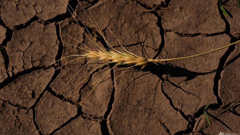
Sources also note that El Niño commonly brings regional impacts such as drought risk in Australia and wetter conditions in parts of East Africa and the southern United States, with outcomes varying in specific locations and seasons. Some experts say human-driven climate change may increase the odds of larger El Niño events.